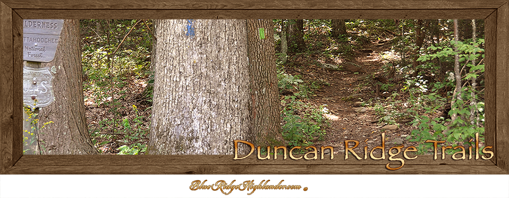
Duncan Ridge Trails
Duncan Ridge Trail (blue blazed) is 20.4-miles long and rated strenuous in trail difficulty. Named after the mountain range Duncan Ridge, which is the longest continuous ridgeline leading off the main Blue Ridge Mountain Range in North Georgia. The trail terminus begins at its furthest western point at Slaughter Mountain, heading westward through Wolf Pen Gap, then crosses Coosa Bald and onto Mulky Gap, intersecting with Benton MacKaye Trail just over the county line. This guide offers three access points to Duncan Ridge Trail within Union County via paved highways or unpaved forestry roadway for the most convenient trail access.
Duncan Ridge Trail access from Neel’s Gap to Slaughter Mountain by way of the Appalachian Trail
 This is the most convenient access to the west end terminus of Duncan Ridge Trail (blue blazed). There is no parking available to hikers at Neel’s Gap’s Walasi-Yi Interpretive Center. A parking area is located to the north along US/19/129 just below Neel’s Gap at the Byron Herbert Reece Memorial. The Byron Herbert Reece Memorial Trail (also blue blazed) connects to the Appalachian Trail then climbs westward to the summit of Blood Mountain, a total of about 2-miles. The Appalachian Trail (white blazed) continues westward to Slaughter Mountain where the west terminus for the Duncan Ridge Trail begins. This route is suggested for experienced overnight backpackers only.
Wolf Pen Gap and Duncan Ridge Trail
 Wolf Pen Gap at 3,260-feet above sea level, is located along GA/180, between Vogel State Park and Lake Winfield Scott Recreation Area. Wolf Pen Gap offers access to the Duncan Ridge National Recreation Trail. Duncan Ridge Trail (blue blaze) is considered a ‘long trail’ and strenuous in difficulty. The trail extends along the upper Duncan Ridge from south central Union County, to the County’s far western edge. Duncan Ridge is the single longest mountain ridgeline leading off the main Blue Ridge Mountain Range. At Wolf-Pen Gap, Duncan Ridge Trail can be accessed along both sides of the roadway with ample parking. An unpaved forestry road next to the western access leads into Coopers Creek Wilderness Area. At the gap the trailhead westward leads into the Coopers Creek Wilderness Area. The trailhead leading eastward travels through the Blood Mountain Wilderness Area.
Mulky Gap and Duncan Ridge Trail
 Mulky Gap Road is paved to the entrance of the Chattahoochee National Forest. At this point the roadway is unpaved, steep and often a rough vehicle climb up to Mulky Gap. The Duncan Ridge Trail (blue blazed) crosses Mulky Gap Road and is accessible on either side of the roadway. Parking is fairly limited. This access point works well for either day hikes or overnight backpackers.


